Skydio: Autonomous drones for DFR, inspection, and national security 🚁🧠🛡️
Skydio: Autonomous drones for DFR, inspection, and national security 🚁🧠🛡️
Couldn't load pickup availability
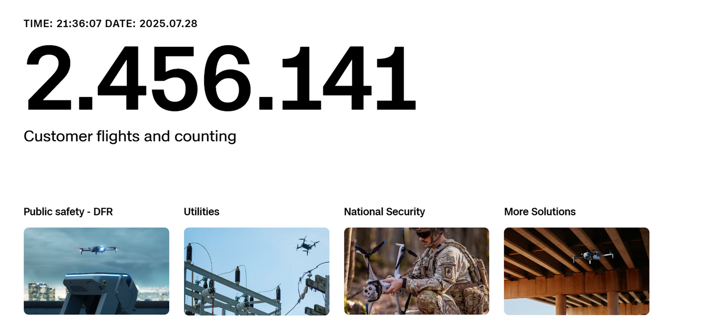
Skydio is the world's leading manufacturer of autonomous drones, revolutionizing the way professionals capture aerial data. 🚀 With a groundbreaking AI-based autonomy engine onboard, Skydio empowers drones to see, understand, and safely navigate their surroundings in 3D—even in complex and GPS-denied environments. This eliminates the need for manual piloting skills and makes drones scalable, reliable tools for critical missions in DFR (Defense, Public Safety, Government) , infrastructure inspection, and national security. Skydio represents a new era of drone technology in which the drone itself is the "expert pilot."
Our purpose and vision
Skydio's primary purpose is to develop the world's most capable and safest autonomous drones, minimizing human labor in hazardous environments and improving decision-making through superior aerial data. We believe autonomous drones can dramatically increase the efficiency and safety of operations by empowering every user with the skills of an experienced pilot.
Our vision is to create a future where autonomous drones are integral components of teams and operations. We strive not only to build the best autonomous aircraft but also to create a secure and trusted ecosystem for mission-critical applications, especially for government and security customers.
Core features and capabilities of Skydio autonomous drones
Skydio's drones, such as the Skydio X2 and the latest Skydio X10 series, feature the following key capabilities:
-
Skydio Autonomy Engine: 🧠
-
360° Obstacle Avoidance: Detects and avoids obstacles in all directions in real time, even the smallest objects such as wires, based on 6-8 4K navigation cameras.
-
Real-time 3D mapping: Creates a detailed 3D map of the surrounding area and intelligently plans the safest and most efficient flight path.
-
AI pilot assistance: The drone takes over safe flying, allowing the operator to focus on data collection and mission objectives.
-
GPS-independent navigation: Enables autonomous flight in GPS-denied environments (e.g. in buildings, under bridges, in canyons).
-
NightSense technology (X10): Enables autonomous flight and object detection in complete darkness or low-light conditions.
-
-
Versatile payloads and sensors: 📸🔥
-
High-resolution visual cameras: Provide up to 4K/60fps HDR video and high-resolution photos (e.g. 48MP in X10) with impressive optical and digital zoom for detailed inspections and monitoring.
-
Thermal imaging cameras: Integrated FLIR thermal imaging sensors (e.g. in X2 and X10) for detecting hotspots, people or objects in poor visibility or at night.
-
Laser rangefinder: Precise distance measurements for mapping and surveying (in some models).
-
Modular accessories: Expansion options with accessories such as headlights or speakers.
-
-
Skydio 3D Scan™ Software: 📊
-
AI-driven adaptive scanning software that automates data acquisition of complex structures (bridges, buildings, accident scenes).
-
Creates ultra-high-resolution digital twins, orthomosaics, and full-coverage 3D models.
-
Reduces data collection time by up to 75% and reduces the need for re-inspections.
-
-
Enterprise-grade security: 🔐
-
Designed and assembled in the USA: Meets the highest supply chain security requirements ("Blue UAS" listed, NDAA compliant).
-
AES encryption: Encrypted wireless communication (AES-128 or AES-256) and encrypted media files (SD cards with physical Yubikey options).
-
Secure Element: Protects software integrity and data confidentiality.
-
No data transfer to external servers: Provides maximum control over sensitive mission data.
-
-
Robust construction and portability: 💪
-
Compact and foldable designs (e.g. Skydio X2) for easy transport and quick deployment.
-
Robust housings, often weatherproof, for use in difficult conditions.
-
-
DFR Command & Remote Ops: 🌐
-
Software solutions for the remote control and management of drone fleets (e.g. Drone as First Responder programs).
-
Enables rapid remote deployment of drones (e.g. from rooftop stations or vehicles) and real-time situational awareness.
-
Advantages and target group
Skydio drones offer revolutionary advantages for professional users:
-
Increased safety: Autonomous flight capability eliminates collision risks and protects both the drone and its personnel. 🛡️
-
Simplified operation: Anyone can fly professionally from day one, drastically reducing training effort.
-
Superior data acquisition: AI-driven scanning and precise navigation ensure comprehensive, high-resolution, and consistent data. 📊
-
Operational efficiency: Faster data capture, fewer re-inspections, and the ability to operate autonomously and remotely increase productivity. ⏱️
-
Trust and security: Compliance with US government standards and robust cybersecurity measures make Skydio a preferred platform for sensitive applications. 🇺🇸
-
Operation in complex environments: Ability to operate safely in GPS-denied or obstructed areas where other drones fail.
Target group:
-
Defense and National Security: Military, federal agencies, border control for ISR (intelligence, surveillance, and reconnaissance), tactical reconnaissance, asset protection, and patrol. ⚔️
-
Public Safety (DFR): Police, fire, and search and rescue services for rapid situational awareness, accident reconstruction, person search, and emergency response. 🚨
-
Infrastructure inspection: Energy utilities (power lines, solar arrays), telecommunications, bridge and construction inspections, ship and aircraft inspections.
-
Construction and surveying: Progress monitoring, detailed measurements, and creation of digital twins of construction sites. 🏗️
-
Forensics: Detailed 3D reconstruction of accident and crime scenes. 🔍
Technology and functionality
At the heart of every Skydio drone is the Skydio Autonomy Engine , a system powered by AI and computer vision. It uses inputs from six to eight 4K navigation cameras to create a real-time 3D map of the environment with millions of data points per second. Powerful NVIDIA processors (e.g., Tegra TX2, Jetson Orin) and deep neural networks process this data to detect objects, predict their movement, and plan flight paths in milliseconds.
This enables not only omnidirectional obstacle avoidance, but also intelligent flight modes and autonomous scanning, in which the drone independently calculates the optimal flight paths and camera angles for complete data capture. Integration with software such as Skydio 3D Scan or DFR Command expands the functionality for specific professional workflows.


