JOUAV: Industrial UAV solutions for precision and efficiency – your partner for unmanned aerial systems 🚁🌐📊
JOUAV: Industrial UAV solutions for precision and efficiency – your partner for unmanned aerial systems 🚁🌐📊
Couldn't load pickup availability
JOUAV is a global leader in the development and manufacture of industrial unmanned aerial systems (UAVs) , specializing in the development of high-performance drones and related solutions for professional applications. 🚀 With a particular focus on VTOL (Vertical Take-Off and Landing) drones, JOUAV is revolutionizing data collection in industries such as surveying and mapping, energy inspection, security surveillance, and agriculture. JOUAV systems offer a unique combination of the long-range flight capability of fixed-wing drones and the flexibility of multirotor drones to deliver precise, efficient, and safe aerial data for a wide range of mission-critical tasks.
Our purpose and vision
JOUAV's primary purpose is to increase the efficiency and safety of industrial operations worldwide through innovative UAV technologies, while providing high-quality, accurate data for informed decision-making. We strive to continue pushing the boundaries of unmanned aviation to solve complex challenges across a wide range of sectors.
Our vision is to be the preferred partner for industrial UAV solutions, creating sustainable value for our customers through world-class products, advanced technologies, and comprehensive service. We believe in the power of data and that our UAVs are the means to collect this data in the safest, fastest, and most accurate way.
Core product lines and capabilities
JOUAV offers an impressive range of UAVs and integrated solutions that stand out for their performance and versatility:
-
VTOL drones (e.g. CW series): 🚁
-
Combined advantages: Combine the flexibility of multirotors (vertical takeoff and landing in confined spaces) with the efficiency and long-range capability of fixed-wing aircraft.
-
Long flight times and long range: Enable coverage of large areas and extended missions.
-
High precision: Ideal for demanding surveying and mapping tasks.
-
Modularity and versatility: Supports a wide range of payloads.
-
-
Multirotor drones: For precise spot inspections and detailed close-ups.
-
Fixed-wing drones: For large-scale mapping and surveillance tasks.
-
Advanced payloads: 📸💡
-
Optical cameras: High-resolution cameras for aerial photography and videography.
-
LiDAR systems: For precise 3D modeling, terrain mapping, and volume calculation, even under dense vegetation.
-
Multispectral cameras: For applications in precision agriculture and environmental monitoring.
-
Thermal cameras: For detecting hotspots, leaks, and anomalies.
-
-
Intelligent flight control systems: 🧠
-
Proprietary flight control technologies ensure stable, precise and autonomous flight routes.
-
Automatic mission planning and execution.
-
-
Integrated software solutions: 📊
-
For mission planning, flight data management, image processing and 3D modeling (e.g. JOUAV D-Mapper, JOUAV D-Survey).
-
Advantages and target group
JOUAV solutions offer significant advantages for professional users:
-
Maximum efficiency: Large areas can be covered in less time, saving time and money. ⏱️
-
Precise data collection: Delivers highly accurate georeferenced data for detailed analysis and decision-making. ✅
-
Versatile applications: A wide range of UAV types and payloads for diverse industry needs. 🔄
-
Increased safety: Reduces the need for human personnel in dangerous or difficult-to-access areas. 🛡️
-
Ease of use: Intuitive operation and automated functions simplify deployment and reduce training requirements. 🚀
-
Reliability and robustness: Designed for use in demanding industrial conditions. 💪
Target group:
-
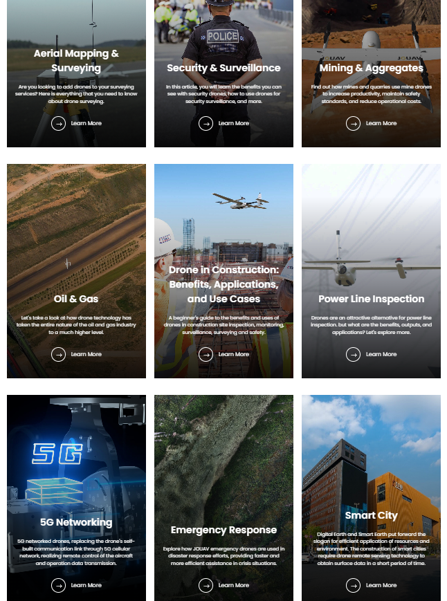
Surveying and mapping companies: For topographic mapping, cadastral surveying, construction site monitoring, and urban planning. 🗺️
-
Energy suppliers: Inspection of power lines, solar farms, wind turbines, and oil and gas pipelines. ⚡
-
Security and surveillance services: border guards, property protection, and patrol services. 👮♂️
-
Agriculture: Precision farming, crop monitoring, and soil condition analysis. 🌾
-
Mining: Volume calculations, monitoring of mining areas, and safety inspections. ⛏️
-
Emergency and rescue services: For situational awareness and support during disasters. 🚨
Technology and functionality
JOUAV's technological strength lies in the combination of innovative hardware and intelligent software. Its VTOL drones utilize sophisticated aerodynamics and advanced flight control algorithms to enable seamless transitions between vertical and horizontal flight. The UAVs are equipped with high-precision GNSS modules and internal sensors that ensure accurate navigation and data collection.
The integration of payloads—from high-resolution cameras to complex LiDAR systems—is seamless, allowing the drones to capture customized data for specific applications. The collected data is then processed and analyzed using JOUAV's proprietary software to generate 2D maps, 3D models, point clouds, and other actionable results. The systems are optimized for use in diverse environments and offer reliable data transmission.